3D base maps (and what beta means)
The iHunter team is always working hard on something new to make it the best tool it can be. In our continuing effort to get new stuff into your hands quickly, this season we’re launching our first beta feature: Mapbox base maps with 3D.
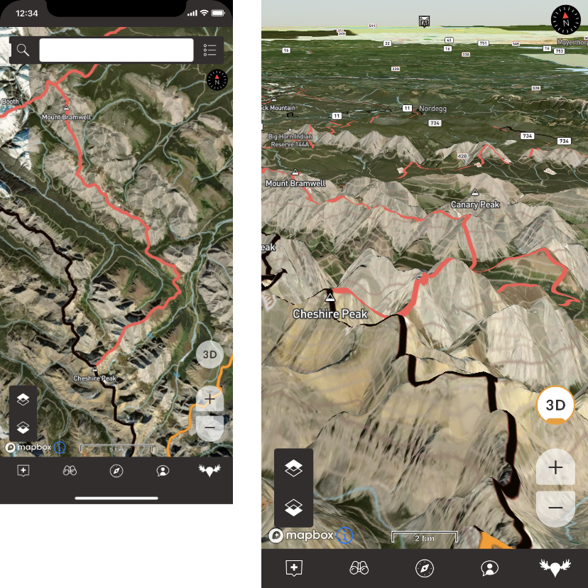
You’ll notice it’s labelled as “beta” in the base map list. This means we haven’t quite put all of the finishing touches on it, but because we don’t want to keep you waiting, it’s ready for you to try now. Just download the latest update from the App Store.
Beta features
Beta features are something you’ll see more often going forward. Some of them will eventually end up as part of the iHunter annual subscription, some of them will just become basic features of the app. Either way, the plan is to get powerful new features into your hands first, and for an entire hunting season. That way everyone gets a chance to use them and help us make iHunter even better.
Known issues
As we mentioned, there are still a couple of things being finished. See the list below for what to expect and make sure you aren’t impacted in the field.
Android
- (Mapbox) Satellite and Hybrid base map imagery cannot currently be cached for offline use.
- (Mapbox) 3D elevation data cannot currently be cached for offline use.
- (Mapbox) Cannot recolour Remote layers. This affects mainly private/titled land layers.
- (Mapbox) Gestures at high zoom levels while in 3D can cause undesired zoom behaviour.
- (Mapbox) Compass mode needs improvement.
iOS
- (Mapbox) 3D elevation data cannot currently be cached for offline use.
- (Mapbox) Cannot recolour Remote layers. This affects mainly private/titled land layers.
- (Mapbox) Gestures at high zoom levels while in 3D can cause undesired zoom behaviour.