Alberta Public Lands Subscription
The Alberta Public Lands subscription includes 6 different map layers: Agricultural Lease Land, The Alberta Green Area, Vacant Disposition land, Huntable Public Parks, Restricted Access Land, and Registered Fur Management Areas.
To use these layers on your map, first make sure you have iHunter AB:
Then either try it free for 3 days or subscribe for only $9.99 per year to benefit from the layers being updated annually.
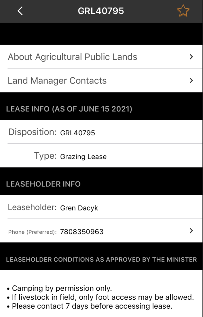
Agricultural Lease Land
There are over 6000 agricultural public land dispositions (leases) that are also available for public access activities such as hunting (subject to restrictions). These lands include Grazing Leases (GRL) and Farm Development Leases (FDL), which typically require users to contact the leaseholder prior to access. Grazing Permits (GRP), Provincial Grazing Reserves (GRR), Forest Grazing Licenses (FGL) and Cultivation Permits (CUP) require basic conditions to be followed, but do not require contact (unless specifically listed). All of these leases have their boundaries shown on the map and are searchable in the Agricultural Lease Land menu. By tapping on the lease you are interested in, or selecting it from the search menu, you can see the leaseholder contact info and any restrictions that are in place.
These areas are shown in a teal on the map and are built into the app as part of the Alberta Public Lands Layers. They can be used even without cell coverage.
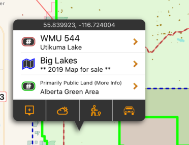
The “Green Area”
The Boundary for the Green Area of the province can also be shown. This is primarily public land, but some areas are under disposition (lease) and approximately 1,330 quarter sections and scattered small pockets of private land also exist. The Green Area is provided as a guideline, but does not indicate that you have permission to access all land within it.
The area is shown in green on the map, and are built into the app as part of the subscription. They can be used even without cell coverage. The boundary is quite large, and enabling it will slow down the app and reduce performance.
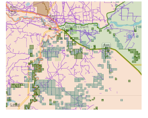
Vacant Disposition Land
In addition to the larger tracts of land shown in the other areas, vacant disposition land can also be shown. This includes leased public land like Pipeline Agreements, Easements, and Licenses of Occupation. These ‘Vacant Public Dispositions’ may be accessed by other users, as long as no development is occurring or is likely to occur within 90 days (or the road allowance is locked).
The are shown in purple on the map (when turned on), but do not have additional information other than the boundaries. They are not usually large tracts of land, but help with finding cutlines and other utility clearings. If they overlap other disposition types (like agricultural lease land) the restrictions of the overlapping lease take precedent. These boundaries are not built into the app, and are downloaded (and cached locally) as the area of the map is viewed.
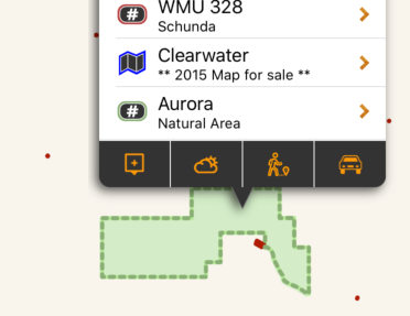
Huntable Public Parks
The Huntable Public Parks layer is made up of three types of public land that are all accessible and allow hunting: Natural Areas, Wildland Provincial Parks, and Wilderness Parks. Some parks may have special restrictions such as firearms limitations or restricted areas, but in general they allow hunting. Natural areas may overlap with Agricultural Lease Land, and are subject to the access restrictions of the lease.
They are shown in dark green on the map, and are built into the app as part of the subscription. They can be used even without cell coverage. Tapping on the area will give additional information or restrictions within the park.
Restricted Access Lands
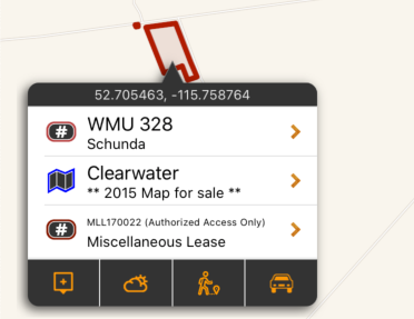
Although there are vast expanses of public land in Alberta, some parcels are used by the province or leased out for other purposes (mining, exploration, airstrips, etc). This layer maps out those parcels of Public Land that do not allow public access or have access restrictions (for the purpose of hunting, or otherwise). The Disposition Identifier listed can be used to discuss access restrictions with the Alberta Environment and Parks.
They are shown in dark red on the map, and are built into the app as part of the subscription. They can be used even without cell coverage. Tapping on the area will give information on the restrictions of the boundary.
Registered Fur Management Areas
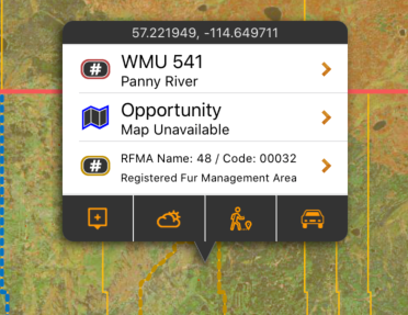
A Registered Fur Management Area (RFMA) is a parcel of public land, the boundary of which is described on the Registered Fur Management Licence.A Registered Fur Management Licence permits the licence holder to hunt and trap fur-bearing animals on the lands described on the licence.
They are shown in yellow on the map, and are built into the app as part of the subscription. They can be used even without cell coverage.

