 |
Private Land
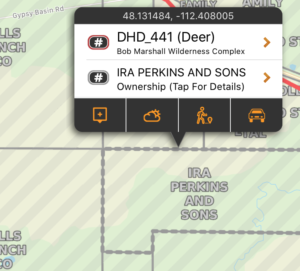
71% of land in Montana is owned privately and permission is required to access it. Knowing the landowner’s name and address, and having property boundaries visible on your phone, makes it much easier to contact and hopefully obtain permission.
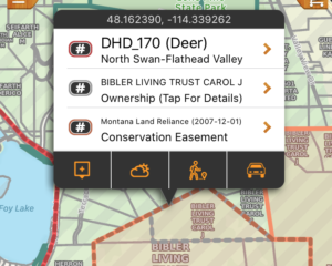
These boundaries are shown in grey on the map and downloaded ‘on the fly’ as you view areas of the map. An Internet connection is required the first time that area and zoom level is viewed. You can pre-cache regions of this layer by using the Manage Cache button (Add Region to Cache). These areas can also be tapped on to display the Property Owner, the owner’s address, and a few other details about the parcel. Tapping for more info does require internet access.
|
 |
State Land
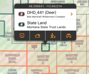
This layer includes the boundaries for (and additional information about) land owned by the State of Montana, including Montana Fish Wildlife and Parks, Montana State Trust Lands, Montana Dept of Transportation, Montana University System, Montana Dept of Corrections, Montana Dept of Natural Resources Water Projects, and other state holdings. Many of these lands do allow access for the purpose of hunting and other recreational activities. Specific rules for both access and hunting may exist. When possible, links to additional content are provided for the specific areas.
These areas are shown in teal on the map, and are built into the app. They can be used even without cell coverage. |
 |
Federal Land
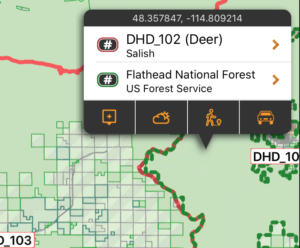
This layer includes the boundaries for (and additional information about) land owned by the US Army Corps of Engineers, US Fish and Wildlife Service, US Forest Service, US Bureau of Land Management, US Dept of Agriculture and other US Government holdings. Many of these lands do allow access for the purpose of hunting and other recreational activities. Specific rules for both access and hunting may exist. When possible, links to additional content are provided for the specific areas.
These areas are shown in green on the map, and are built into the app. They can be used even without cell coverage. |
 |
Local Government Land
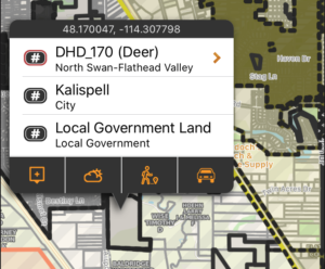
This layer includes the boundaries for land owned by the Cities, Counties and other Local government agencies. In most cases hunting is not permitted on these lands (while exceptions may exist). When possible, links to additional content are provided for the specific areas.
These areas shown in dark grey on the map, and are built into the app. They can be used even without cell coverage. |
 |
Conservation Easements
This layer includes the boundaries for legal Conservation Easements. Conservation Easements DO NOT necessarily grant public access, and the landowner maintains the right to limit access. Easements are intended to preserve the ecological, recreational, cultural, agricultural, or historic resources of a property by limiting some land uses. Many of these lands do allow access for the purpose of hunting and other recreational activities. Specific rules for both access and hunting may exist. When possible, links to additional content are provided for the specific areas. The Property Boundary layer can be used to determine ownership and contact for access.
These areas shown in orange on the map, and are built into the app. They can be used even without cell coverage. |


